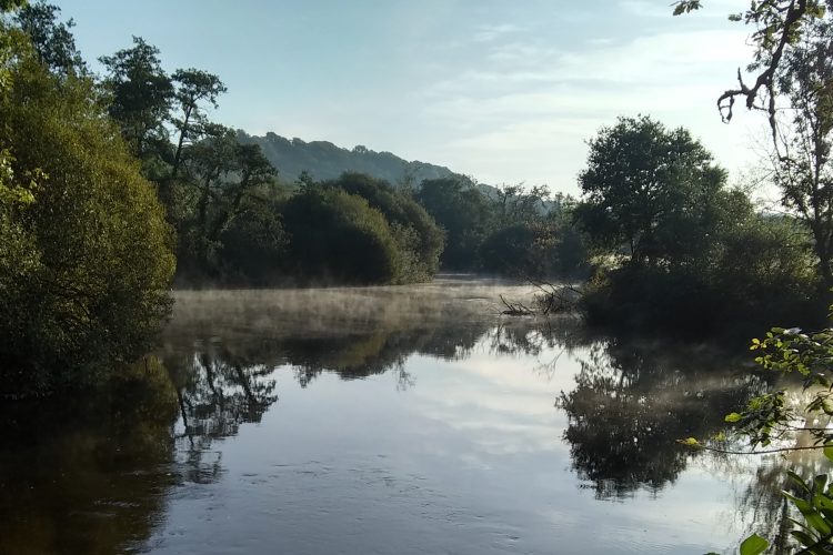
There are a series of walks around Llandysul and Pont-Tyweli, that were originally published in a booklet called “Llandysul Trails”, you can download and print each walk
The Ordnance Survey map for the area of the walks is Explorer 185. The maps are for illustration purposes only and should be used in conjunction with the appropriate map and compass.
Grade of walks set out in the trails.
A – Strenuous: Ability to walk on rough terrain for up to 6 hours with a light rucksack.
B – Moderate: Ability to walk on rough terrain for up to 4 hours with a light rucksack.
C – Easy: Ability to walk on rough terrain for up to 2 hours with a light rucksack.
